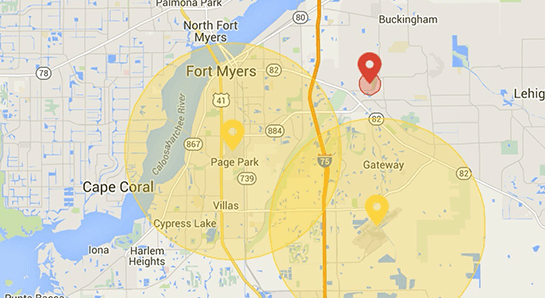
DJI launched a public beta version of its new geofencing system in North America and Europe. With this major upgrade to DJI's existing geofencing system, users will have access to live information about areas temporarily restricted from flight due to forest fires, major stadium events, VIP travel and other changing circumstances.
Geospatial Environment Online (GEO) will provide drone users with up-to-date guidance on locations where flight may be restricted by regulation or raise safety or security concerns.
The GEO system will also show restricted areas around locations like prisons, power plants and other sensitive areas where drone flight would raise non-aviation security concerns.
To accommodate the large variety of authorized applications, GEO will allow drone operators with verified DJI accounts to self-authorize and temporarily unlock flight in some locations. Certain areas where drone flight is not allowed, such as Washington D.C., will remain as unlockable no-fly zones. Unlocking requires a DJI account verified with a credit card, debit card or mobile phone number. DJI will neither collect nor store the information, and the service is free.
The verified account is required only if a user chooses to fly in a location that might raise aviation safety or security concerns.
Use of GEO requires a drone firmware update and installation of a beta version of the DJI Go app.
Android users can directly download the APK file at http://bit.ly/1PyIVIA. Users of iOS devices can request a download of the beta app by providing an email address to flysafe@dji.com.
DJI expects to release a final version of GEO after completion of this short beta period.
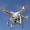
The GEO public beta will work with both DJI’s Phantom 3 and Inspire 1 drones, with specific versions available for download at http://www.dji.com/flysafe/geo-system.


